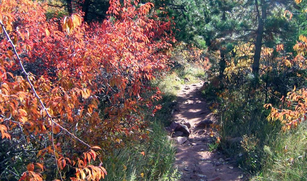
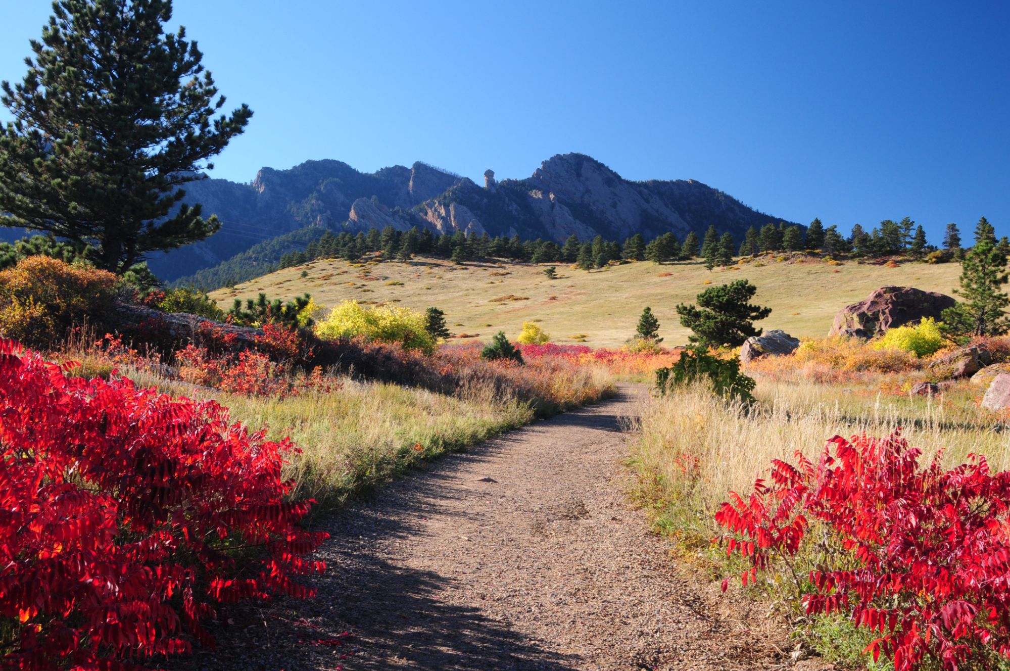
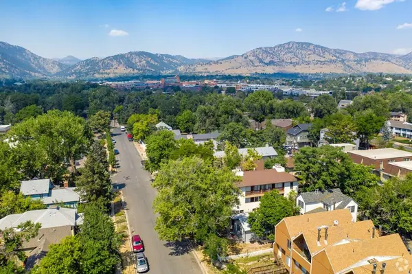
Boulder County, Colorado, is a hiker’s paradise with some of the most breathtaking trails in the Rocky Mountains. Whether you're looking for a challenging summit hike, a peaceful nature walk, or a family-friendly adventure, Boulder County offers stunning landscapes, diverse wildlife, and awe-inspiring views. From the iconic Flatirons to the scenic Indian Peaks Wilderness, here are the best hiking trails in Boulder County for all levels of outdoor enthusiasts.
Chautauqua Park & The Flatirons
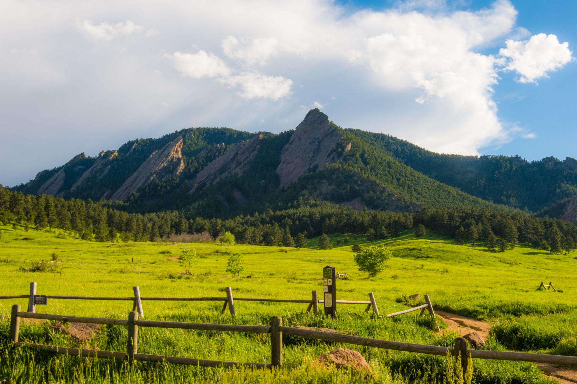
Location: Chautauqua Park, Boulder, CO
Distance: Varies (1.5 – 6 miles round trip)
Difficulty: Easy to Difficult
Why Hike Here?
Chautauqua Park is home to Boulder's most iconic hikes—the Flatirons. These massive sandstone formations provide stunning views, challenging ascents, and rewarding summit experiences. Whether you're looking for a quick scenic loop or a strenuous climb, this area has something for everyone.
Trail Highlights:
-
Flatirons Loop (2 miles) – Easy and scenic
-
1st/2nd Flatiron Trail (2.9 miles round trip) – Steep and rewarding
-
Royal Arch Trail (3.5 miles round trip) – Popular for its unique rock arch
Pro Tip: Arrive early—parking fills up fast, especially on weekends.
Mount Sanitas Trail
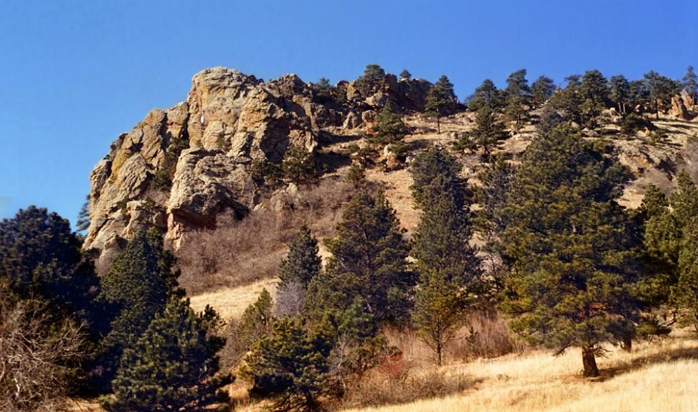
Location: Sanitas Trailhead, Boulder, CO
Distance: 3.1 miles round trip
Difficulty: Moderate to Difficult
Why Hike Here?
If you’re looking for a quick but intense workout with breathtaking views, Mount Sanitas is perfect. The trail climbs 1,300 feet in just over 1.5 miles, making it a great training hike with panoramic views of Boulder.
Trail Highlights:
-
Great for trail runners and fitness hikers
-
Beautiful wildflowers in the spring
-
Stunning sunrise and sunset views
Pro Tip: For a less crowded route, take the Sanitas Valley Loop instead of the main summit trail.
Bear Peak via Fern Canyon
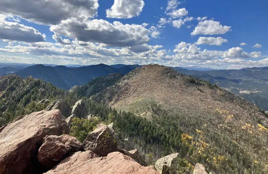
Location: NCAR Trailhead, Boulder, CO
Distance: 7.7 miles round trip
Difficulty: Difficult
Why Hike Here?
Bear Peak offers one of the best summit views in Boulder County. The trail starts with a gradual incline through forests, then climbs steeply through Fern Canyon, with rocky switchbacks leading to the summit.
Trail Highlights:
-
360-degree views of Boulder, Denver, and the Front Range
-
Rocky and challenging ascent
-
Less crowded than the Flatirons but just as rewarding
Pro Tip: Bring hiking poles for the descent—it’s steep and can be slippery.
Green Mountain via Gregory Canyon
Location: Gregory Canyon Trailhead, Boulder, CO
Distance: 6.4 miles round trip
Difficulty: Moderate to Difficult
Why Hike Here?
Green Mountain offers a less crowded alternative to Bear Peak but still delivers spectacular views. The trail winds through lush forests, rocky terrain, and alpine meadows, making it a favorite among locals.
Trail Highlights:
-
Beautiful shaded sections
-
Great for wildlife spotting (deer, birds, and even the occasional bear)
-
Panoramic summit views of the Continental Divide
Pro Tip: Take the West Ridge Trail for a more gradual ascent.
Boulder Canyon Trail
Location: Boulder Canyon Trailhead, Boulder, CO
Distance: 4 miles round trip
Difficulty: Easy
Why Hike Here?
Boulder Canyon Trail is a great beginner-friendly hike that follows Boulder Creek, offering beautiful waterfalls, shady trees, and peaceful picnic spots.
Trail Highlights:
-
Perfect for families and casual hikers
-
Scenic bridges and water features
-
Great for dog walkers and bikers
Pro Tip: Hike in the early morning for cooler temperatures and fewer crowds.
South Mesa Trailhead (Towhee & Homestead Trails)
Location: South Mesa Trailhead, Boulder, CO
Distance: 3.2 – 5 miles round trip
Difficulty: Easy to Moderate
Why Hike Here?
This area offers gentle rolling trails with incredible views of the Flatirons and Eldorado Canyon. It’s less crowded than Chautauqua and is perfect for a peaceful nature walk.
Trail Highlights:
-
Wildflower meadows in the spring
-
Historic homestead ruins along the way
-
Great for birdwatching
Pro Tip: This is a popular area for trail running—expect to see runners during peak hours.
Heil Valley Ranch
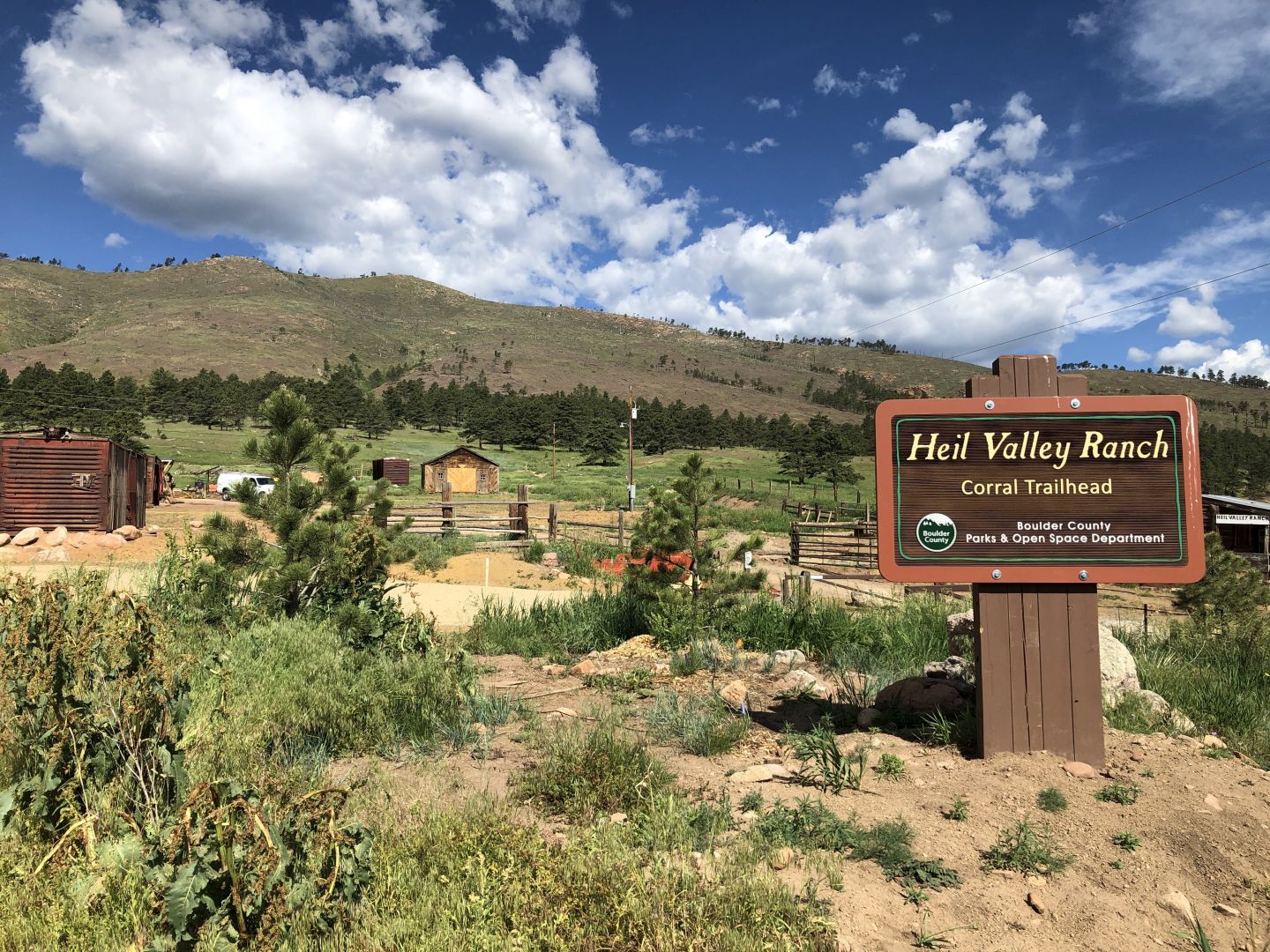
Location: Near Lyons, CO
Distance: 5.3 miles round trip
Difficulty: Moderate
Why Hike Here?
If you’re looking for a quiet escape from Boulder’s busier trails, Heil Valley Ranch offers serene forests, rolling hills, and rocky overlooks.
Trail Highlights:
-
Less crowded than Boulder trails
-
Beautiful pine forests and wildlife sightings
-
Great for hikers, mountain bikers, and horseback riders
Pro Tip: Check trail conditions—some sections close seasonally due to fire damage.
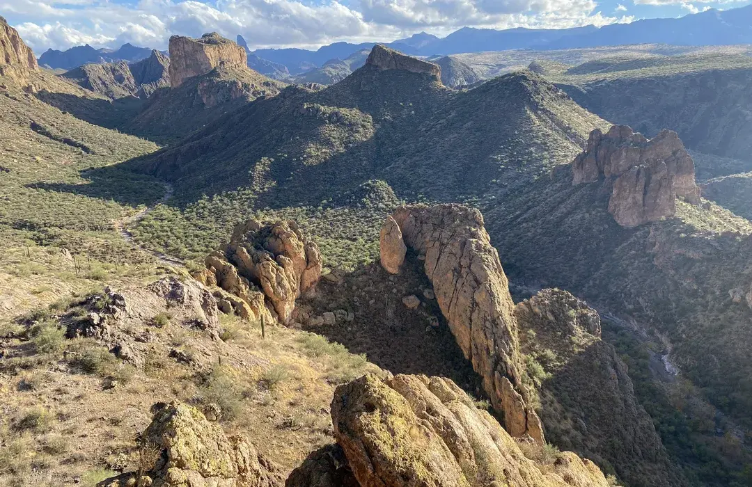
Eldorado Canyon State Park
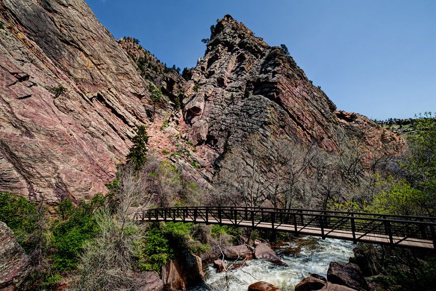
Location: Eldorado Springs, CO
Distance: Varies (1 – 7 miles)
Difficulty: Easy to Difficult
Why Hike Here?
Eldorado Canyon is famous for its towering sandstone cliffs and scenic river views. The trails here are perfect for hiking, rock climbing, and photography.
Trail Highlights:
-
Rattlesnake Gulch Trail (3.6 miles round trip) – Views of the Continental Divide
-
Fowler Trail (1.2 miles round trip) – Family-friendly with great canyon views
-
Eldorado Canyon Trail (7 miles round trip) – A more challenging route
Pro Tip: Get here early—parking is very limited, especially on weekends.
Plan Your Next Boulder Hiking Adventure
Boulder County offers some of the best hiking trails in Colorado, with breathtaking views, diverse landscapes, and trails for all skill levels. Whether you're looking for a short scenic walk or a challenging summit climb, these hikes will help you experience the beauty of the Rocky Mountains.
FROM OUR BLOG


What’s New in Boulder: Summer 2026 Restaurant, Retail and Lifestyle Updates
Editor’s note: Business openings, hours, and development plans can change. The information below was verified as of July 23, 2026. Confirm current details directly with each business before making a special trip. Boulder’s business landscape continues to evolve this summer. New restaurants are bring
Best Boulder Neighborhoods Near Top-Rated Schools: A Buyer’s Guide
A search for the best Boulder neighborhoods near top-rated schools usually involves more than finding the campus with the strongest score. Buyers also need to determine which school is assigned to a specific address, whether that assignment will change, how students would get to school, and what typ

Boulder Home Inspection Checklist: What to Check
A thorough Boulder home inspection should include the standard structure-and-systems review plus several Colorado-specific checks: radon testing, a sewer scope, careful foundation and drainage evaluation, and a detailed roof assessment. Depending on the property, buyers should also investigate flood